Birkirkara Traffic
Malta · Live conditions, incidents and cameras
Birkirkara is Malta's most populous town and a key junction between the central inland areas and the coastal corridor. Tal-Balal Road and the Naxxar Road carry heavy peak-hour flow.
Cameras at Attard and Qormi cover the approaches. The town's narrow inner roads bottleneck quickly when there's any incident on the main arteries.
If you're commuting from Birkirkara to Valletta, the Mrieħel Bypass and Pietà route is typically faster than the Msida-Marsa corridor at rush hour.
Major roads
- Mrieħel Bypass
- Tal-Balal Road
- Triq Tumas Fenech
- Triq Naxxar
- Birkirkara Bypass
Key landmarks nearby
- Mrieħel Industrial Estate (Malta's largest)
- Birkirkara Parish Church
- St Theresa College (large school complex)
- Tal-Balal Road interchange
- Trade Fair Grounds (Ta' Qali) — short drive away
Parking
Birkirkara has the best free street parking ratio of any large town in central Malta. Side streets off the bypass have dozens of available bays most of the day. Mrieħel industrial estate offers ample weekday parking and is walkable to many central destinations.
Avoid the area around schools at start and end of the day — wardens are active and pickup/drop-off chaos makes it stressful even if you find a spot.
See our full Malta parking guide for prices, time limits and warden patterns.
Public transport alternatives
Birkirkara is on multiple high-frequency bus corridors. Routes between Valletta, Sliema, the centre and the north all pass through Tal-Balal or the bypass. Buses are often faster than cars at peak hours because of dedicated bus lanes on Mrieħel.
Many residents use the Mrieħel Park & Ride concept informally — drive to the bypass, park free, take a bus the rest of the way into Valletta.
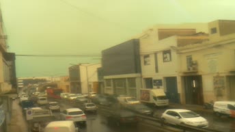
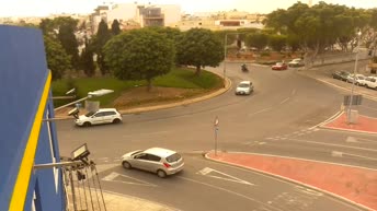
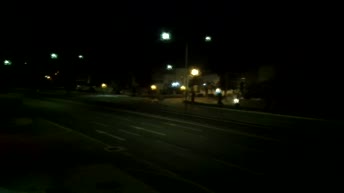
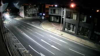
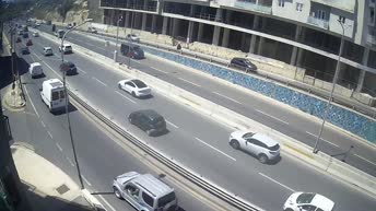
Live cameras near Birkirkara
Snapshots refresh ~every 10 seconds. Click for the full live feed.

Frequently asked
From Birkirkara to Valletta — usually yes during peak hours, because Msida 5th October Roundabout backs up first.